

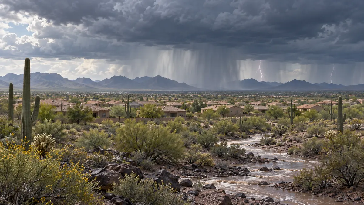

Updated 1:25 p.m. Tuesday, Oct. 13: Lingering showers may continue into Tuesday afternoon before clearing this evening, according to the National Weather Service Phoenix forecast discussion issued at 11:15 a.m. The main rain focus is shifting toward central and eastern Arizona, with drier air spreading east across the state. NWS said brief low clouds and reduced visibility remain possible under showers, while westerly winds may produce gusts of about 17 to 23 mph. Earlier showers produced up to about 0.10 inch across much of Maricopa County and 0.25 to 0.50 inch in far northern and eastern Phoenix and nearby foothills. No NWS watches, warnings or advisories are in effect for the Phoenix forecast area.
Correction, Oct. 10: An earlier version incorrectly described Sunday’s severe-weather outlook as a Moderate Risk. The National Weather Service classifies the severe-storm risk as Marginal. A Moderate Risk applies to excessive rainfall in parts of southeastern California.
The advisory covered Surprise, Peoria, Glendale, Goodyear, Avondale, Buckeye, Wickenburg, Tonopah and surrounding south-central Arizona communities. Blowing dust could sharply reduce visibility in exposed desert areas, while strong crosswinds could make travel difficult for trucks, recreational vehicles and other high-profile vehicles.
Storm chances begin Saturday afternoon
The NWS midday discussion, issued at 12:40 p.m. Saturday, said widespread elevated showers and scattered thunderstorms had already developed across southwest Arizona and southeast California. The activity was pushing north and east toward Greater Phoenix. NWS reported localized blowing dust near Gila Bend late Saturday morning and said even weak storms could generate 35 to 50 mph gusts because of the dry air near the surface.
A stronger round may arrive late Saturday night into Sunday morning as Rachel’s moisture reaches the region. NWS expects instability and strong wind shear to create a window for more organized storms. The Storm Prediction Center has placed much of the area in a Marginal Risk, the lowest category on its five-level severe-weather scale.
The Phoenix forecast office lists a 5% to 14% probability of severe wind within the broader risk area and a 2% to 4% tornado probability across portions of the lower deserts. Those percentages apply within the mapped outlook areas and do not mean every West Valley community will experience severe weather. Damaging wind remains the primary concern.
By midafternoon Sunday, NWS said surface gusts across the region were mostly reaching 35 to 45 mph and had generated blowing dust and haze in some areas. The formal south-central Arizona advisory continued to call for southwest winds of 15 to 25 mph with gusts up to 40 mph. The advisory expired at 5 p.m., with winds expected to ease after sunset.
Overnight showers become more likely
The NWS said a shortwave trough and weak surface front will raise rain chances across Maricopa and Pinal counties overnight. The latest high-resolution guidance gives lower-desert locations about a 10% chance of receiving more than 0.25 inch, while most places are expected to receive less than that or no measurable rain. A few areas could collect 0.25 to 0.50 inch where showers repeatedly cross the same location, with the highest rainfall potential in higher terrain east and northeast of Phoenix.
Storms have produced little lightning, but some showers have generated brief rain rates of 1 to 2 inches per hour while moving northeast at roughly 35 mph. NWS said the rapid movement limits rainfall at any one location. A late-evening aviation update dropped the earlier 25-to-35-knot gust language, forecasting winds generally around 12 knots or less through Tuesday morning. It said a more defined area of showers may cross the Phoenix metro from about 1 to 7 a.m. before clearing early Tuesday.
A Maricopa County Flood Control District outlook issued Sunday morning expects only spotty lower-elevation rainfall through Monday afternoon, generally below 0.25 to 0.50 inch. It forecasts a broader 0.25 to 1 inch Metro Phoenix rainfall window Monday evening into early Tuesday as a cold front passes.
Even without a countywide Flood Watch, intense rain can quickly flood low-water crossings, desert washes and poorly drained streets. Drivers should never enter a flooded roadway. The combination of dust, crosswinds and bursts of heavy rain could cause rapidly changing travel conditions.
The storm will also break the recent heat. Lower-desert highs are expected to fall into the 80s Sunday, followed by readings mainly in the 70s during the first half of next week.
Rachel becomes post-tropical, weakens to 60 mph
The National Hurricane Center’s 8 p.m. Saturday advisory placed Post-Tropical Cyclone Rachel about 190 miles south of San Diego with maximum sustained winds near 60 mph. Rachel was moving north-northeast at 36 mph.
NHC said Rachel had lacked organized deep convection for more than 12 hours and its circulation had become elongated, prompting the post-tropical classification. The system was expected to move onshore over northern Baja California Saturday night, then dissipate over the Southwest on Sunday. Damaging gusts associated with Rachel’s remnants could still spread across parts of the interior Southwest, especially over higher terrain.
Rachel’s offshore sustained wind speed is separate from the local West Valley forecast. The local wind threat reflects the combined effects of the tropical system and a Pacific low-pressure trough.
Wind and flooding safety
Residents should secure patio furniture, temporary shade structures, trash bins and other loose outdoor objects when strong winds are forecast. Check drainage around homes and avoid parking or camping in washes.
During blowing dust, slow down before visibility deteriorates and avoid stopping in a travel lane. High-profile vehicles should use extra caution during any remaining strong gusts.
For Phoenix residents near the West Valley, the City of Phoenix said Friday that free sand is available at El Oso Park, 3451 N. 75th Ave., and Trailside Point Park, 7215 W. Vineyard Road, among nine city sites. The city is not providing bags or shovels, and sand is available first-come, first-served while supplies last.
Residents should monitor the National Weather Service Phoenix office and local emergency alerts for updated forecasts and warnings.


1 Comment
Join the conversation. Keep comments relevant, civil and focused on the story.