


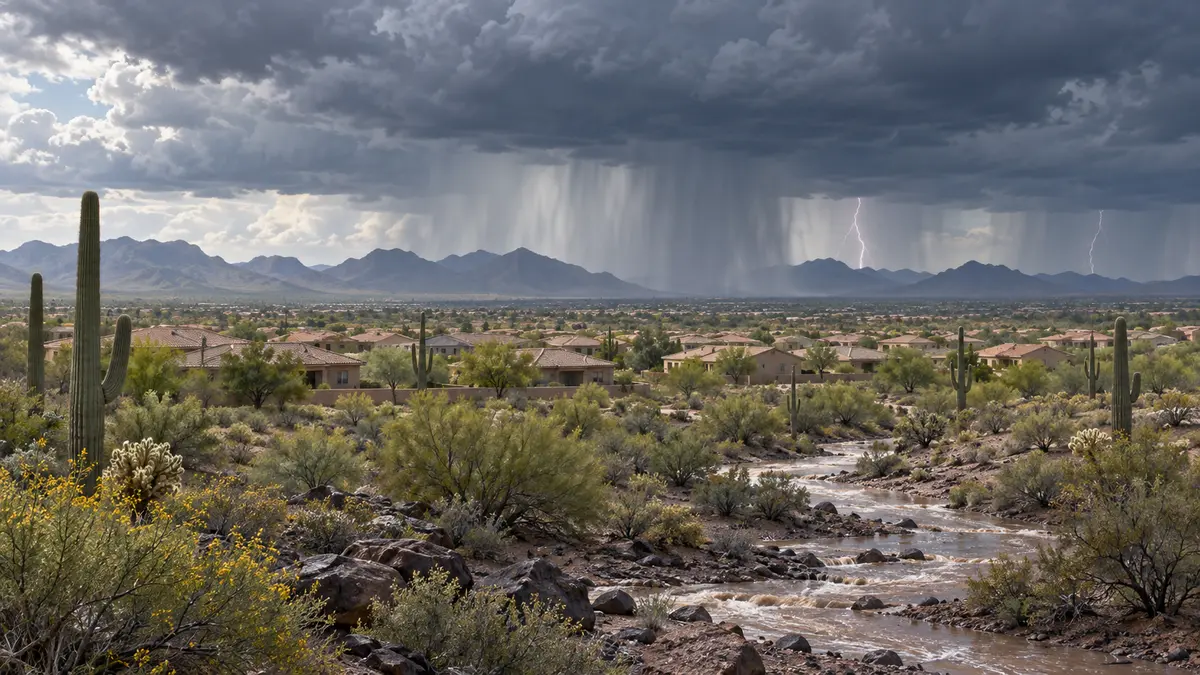
Updated 8:30 a.m. Thursday, Oct. 8: West Valley residents face a growing chance of heavy rain, thunderstorms and strong wind this weekend as moisture from Tropical Storm Rachel moves into Arizona.
The National Weather Service in Phoenix said Thursday morning that rain chances should begin rising Saturday afternoon and evening across central and southern Arizona. The best opportunity for rain is expected from late Saturday night through Sunday, when forecast probabilities exceed 50% to 60% across the region.
The forecast matters across Surprise, Peoria, Glendale, Goodyear, Avondale, Buckeye and surrounding communities because Rachel’s moisture will arrive alongside a Pacific weather system. That combination could produce multiple hazards, including downpours, thunderstorms and gusty winds.
Rain and wind risk peaks Sunday
Forecasters expect atmospheric moisture to reach 200% to 250% of normal by Saturday evening. Scattered showers and isolated thunderstorms could develop that afternoon before deeper moisture arrives overnight.
Wind may be an additional concern. Weather models cited by the Phoenix forecast office show strong winds above the surface that could translate into gusts above 40 mph, especially in areas east of Rachel’s track. The current forecast takes the storm toward far northern Baja California late Saturday and then north-northeast through the Colorado River Valley on Sunday.
Those winds could affect unsecured patio furniture, temporary shade structures and other outdoor items. Heavy rain can also quickly flood low-water crossings, desert washes and streets with poor drainage, even when rainfall totals vary sharply from one neighborhood to another.
The pattern will also end the recent stretch of triple-digit heat. Lower-desert highs are expected to fall from the low to mid-90s Saturday to the low 80s Monday, with many locations possibly staying in the 70s Tuesday and Wednesday.
Rachel’s track still leaves uncertainty
The National Hurricane Center’s 8 a.m. Thursday discussion said the spread among track models had narrowed, increasing confidence somewhat. Rachel was still a 70 mph tropical storm Thursday morning, but gradual weakening is expected as it approaches northern Baja California and Southern California.
The center said moisture from Rachel will increase rain coverage across the Southwest and create a threat of flash and urban flooding. Gusty winds are also expected to spread into interior portions of the region.
Important details remain unresolved. The Phoenix forecast office said rainfall totals will depend heavily on Rachel’s eventual track and interaction with the Pacific trough. Higher-resolution guidance is needed before forecasters can be more confident about where the heaviest rain will fall.
As of 8:30 a.m. Thursday, no flood or wind watch was listed for Maricopa County. Watches and warnings may be issued as the event approaches and confidence improves.
How to prepare before the weekend
Residents can use the lead time to secure loose outdoor objects, check drainage around their homes and reconsider travel through flood-prone washes or low-water crossings. Drivers should never enter a flooded roadway; the National Weather Service’s Turn Around, Don’t Drown guidance notes that water can hide road damage and become deeper or faster than it appears.
Forecasts are likely to change through Friday and Saturday. Residents should monitor the National Weather Service Phoenix office and local emergency alerts for updated timing, rainfall estimates and any watches or warnings.

Comments
Join the conversation. Keep comments relevant, civil and focused on the story.