


Updated as of 5:20 a.m. Arizona time Tuesday, Oct. 20.
A Flood Watch will cover much of the West Valley from Wednesday evening through Thursday afternoon as a strong weather system brings the potential for heavy rain and flash flooding.
The National Weather Service in Phoenix issued the watch at 12:04 a.m. Tuesday. It includes the Buckeye/Avondale forecast zone, the Northwest Valley and North Phoenix/Glendale, along with communities specifically listed by the agency such as Goodyear, Surprise, Peoria, Avondale, Sun City West, Wittmann, Tonopah and Wickenburg.
The watch begins Wednesday evening, Oct. 21, and continues through Thursday afternoon, Oct. 22. A Flood Watch means conditions could support flooding. It is not a warning that flooding is already occurring.
What the forecast says
The official Flood Watch says widespread showers and thunderstorms are expected, especially from Wednesday evening through Thursday afternoon. Moderate to heavy rain could produce localized rates of 1 to 2 inches per hour.
The agency said excessive runoff could flood rivers, creeks, streams and other low-lying or flood-prone locations. Normally dry washes and low-water crossings can become dangerous quickly during intense rain.
On its Phoenix forecast page, the Weather Service said the highest rain chances across south-central Arizona and the eastern high terrain are expected to range from 50% to 90%. Current projections call for roughly 0.25 to 1 inch across the lower deserts, though localized totals and short-duration rainfall rates could be higher.
Excessive-rain and severe-weather outlooks
In an update posted Tuesday morning, the Weather Service said the Weather Prediction Center placed Phoenix and areas to the north and east in a Slight Risk for excessive rainfall capable of producing flash flooding on both Wednesday and Thursday.
The Storm Prediction Center also placed portions of the lower deserts in a Marginal to Slight Risk for severe weather. The primary threats are damaging wind and hail, according to the Weather Service, with a small chance of an isolated weak tornado. Those outlooks describe the probability of severe weather across a broad area and do not mean every community will experience severe conditions.
The forecast can still change before the watch takes effect. The Weather Service advised residents to monitor later forecasts and be ready to act if Flash Flood Warnings are issued.
What West Valley residents should know
Drivers should avoid flooded roadways and never enter a wash or low-water crossing when water is moving across it. The depth and condition of the pavement can be impossible to judge, particularly after dark.
Residents in flood-prone areas should make sure phones can receive emergency alerts and secure items that could block neighborhood drainage. Anyone with travel planned Wednesday night or Thursday should check current conditions shortly before leaving.
Forecast updates and any warnings will appear on the National Weather Service Phoenix office page. Road incidents and closures are posted through AZ511.
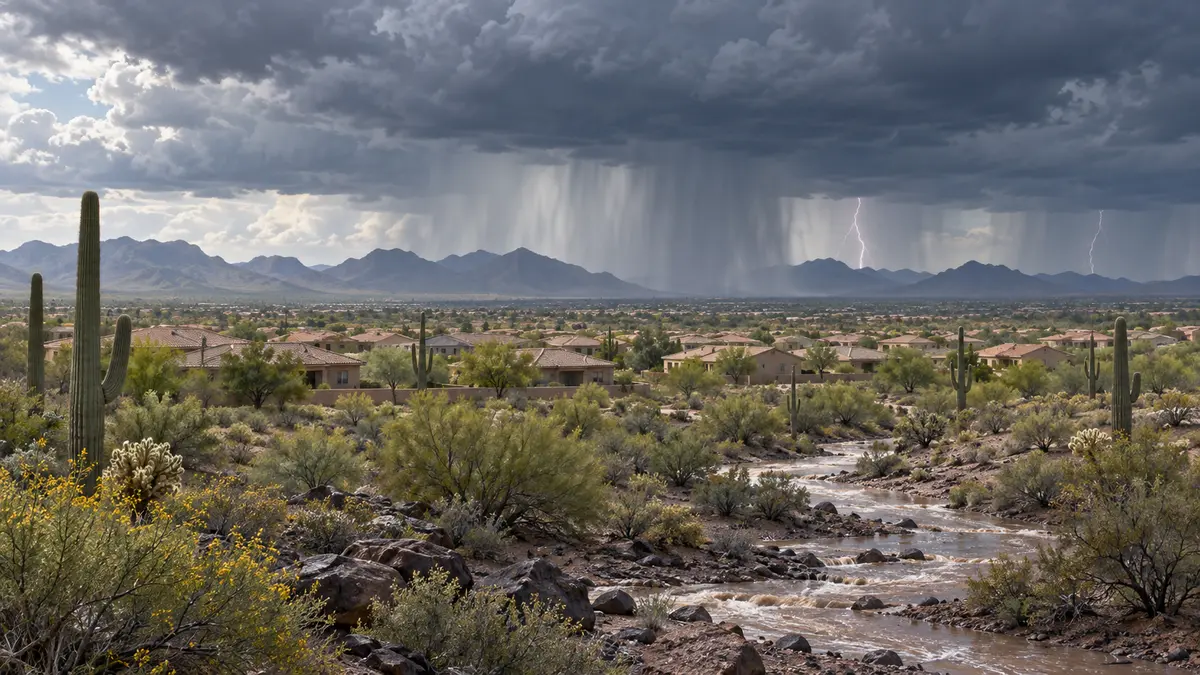
Featured image: Original West Valley Post editorial illustration. It does not depict a specific observed storm.



Comments
Join the conversation. Keep comments relevant, civil and focused on the story.