


Updated at 7:35 a.m. Thursday, Sept. 24, 2026: A flood advisory for Buckeye, Tonopah, Wickenburg and nearby western Maricopa County communities expired at 7:15 a.m. without an extension. A separate advisory remains in effect until 8:45 a.m. for Gladden and locations along Centennial Wash.
The National Weather Service issued both advisories after early-morning thunderstorms produced moderate to heavy rain over the western West Valley and surrounding desert.
The expired advisory covered Buckeye, Tonopah, Wickenburg, Circle City, Morristown and Aguila. The weather service said radar estimated between 0.25 and 0.75 inches of rain had fallen, with another 0.25 to 0.75 inches possible before the advisory ended. It warned of possible arroyo and small-stream flooding in low-lying and poorly drained areas.
The continuing advisory covers Gladden and locations along Centennial Wash in western Maricopa County and eastern La Paz County. Radar estimated up to 0.75 inches of rain there, with up to another 0.75 inches possible.
The precise advisory text and any extensions or cancellations are available on the NWS Phoenix watches, warnings and advisories page.
What drivers should know
The remaining advisory warns of minor flooding in normally dry washes, arroyos and other low spots. Conditions can vary sharply over short distances. Drivers should not cross water covering a roadway and should use another route if a wash is running.
No flash flood warning covered Buckeye or the Phoenix metro as of 7:35 a.m. A separate flash flood warning issued by the weather service’s Flagstaff office remained in effect until 8:30 a.m. for rural southwestern Yavapai County near State Route 71 and U.S. 93. Forecasters said 1 to 2 inches of rain had fallen in that warned area.
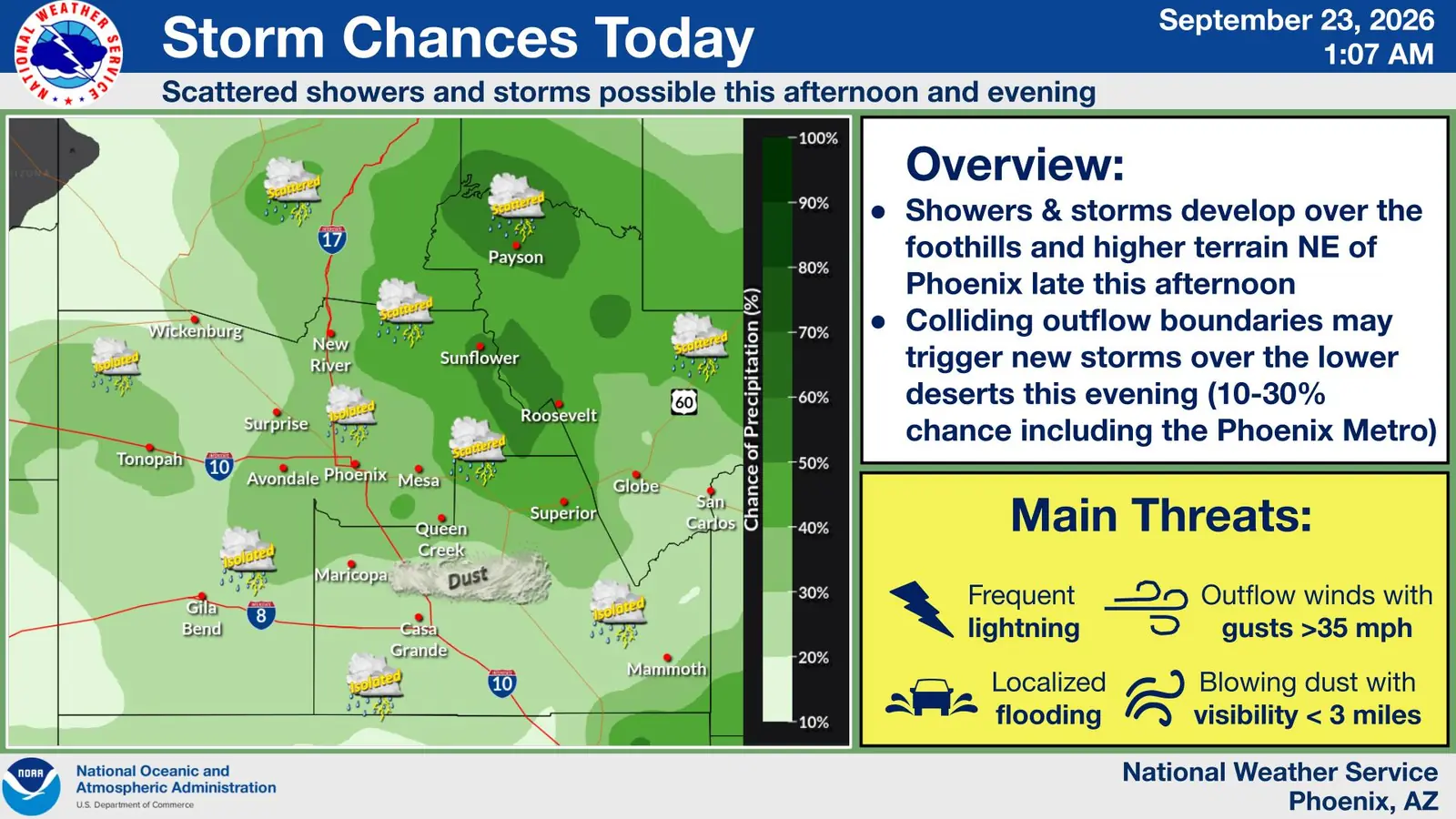
At Luke Air Force Base, the weather service reported thunder at 5:35 a.m. The Surprise point forecast, updated at 4:42 a.m., gives a 20% chance of showers and thunderstorms Thursday, with another slight chance after 2 p.m.
Residents should check current conditions before traveling because advisory boundaries and expiration times can change. The weather service’s flood-safety guidance stresses that most flood deaths occur in vehicles.
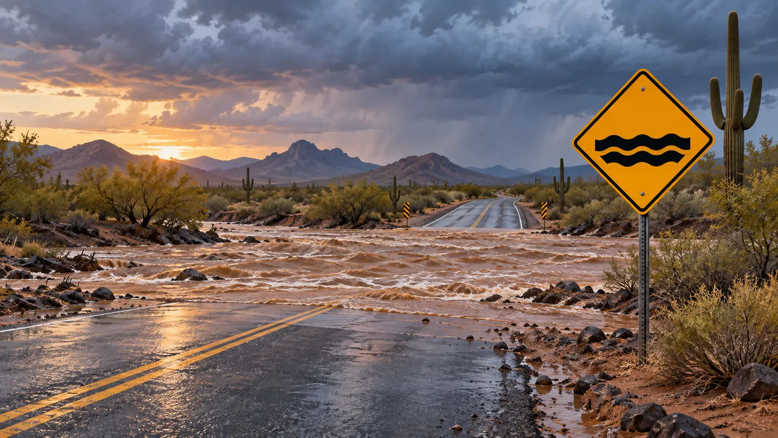
Featured image: West Valley Post editorial illustration generated with AI. It represents desert flood risk and does not depict the current advisory area or an actual roadway.

Comments
Join the conversation. Keep comments relevant, civil and focused on the story.