


The National Weather Service is forecasting a wet turn for the West Valley late this week, with showers and thunderstorms likely Friday, rain still possible on Halloween and another potentially stronger system expected Sunday.
The Phoenix office’s 3:06 a.m. forecast discussion Monday says dry, seasonable weather should hold through Wednesday. Moisture is then expected to increase Thursday night, setting up two separate periods of rain.
As of Monday morning, no watch or warning had been issued for the West Valley. The forecast is several days out, so rainfall amounts and the timing of showers on Saturday, Oct. 31, may change.
Friday brings the first round
Friday has the highest confidence for widespread rain in the first system. NWS gives Peoria an 80% chance of rain and Buckeye a 70% chance, with showers and a possible thunderstorm. Both point forecasts call for roughly one-quarter to one-half inch during the day, though individual storm totals could vary.
The broader Phoenix-area forecast discussion puts average rainfall near one-half inch from Thursday night through Friday night. Higher terrain north of Phoenix could receive 0.75 to 1 inch. Forecasters said the upper end of model guidance is at least twice the average, creating the possibility of minor flooding in some places Friday.
The Weather Prediction Center has placed central Arizona in a Slight Risk of excessive rainfall for Friday. NWS expects enough instability for isolated to scattered weak thunderstorms but, as of Monday’s forecast, does not anticipate strong storms.
Halloween timing remains uncertain
Friday’s system is forecast to ease overnight, but rain may not be finished by Halloween. The Peoria forecast lists a 30% chance of showers Saturday and a 60% chance Saturday night. Buckeye has a 30% chance during the day and 50% Saturday night.
That means outdoor events could encounter showers, especially later Saturday, but it is too early to identify specific hours or neighborhoods most likely to get rain. Residents planning trick-or-treating or outdoor gatherings should recheck the forecast closer to Saturday rather than relying on Monday’s timing.
Temperatures should also turn cooler. West Valley highs are forecast near the mid-80s through Thursday, then around 76 Friday and Saturday.
A second system is possible Sunday
NWS expects another system to move toward the region Sunday. Forecasters said this round could carry at least as much moisture as Friday’s system and produce broader coverage, though its track and timing remain less certain.
Current point forecasts call for a 70% chance of showers and a possible thunderstorm in Peoria on Sunday, with one-half to three-quarters of an inch possible. Buckeye has a 60% chance with the same rainfall range. Highs may fall to around 70 degrees, among the coolest daytime temperatures so far this fall.
Drivers should never enter a flooded roadway and should allow extra time during periods of heavier rain. Current warnings and updated forecasts are available from NWS Phoenix, while highway conditions are available through AZ511.
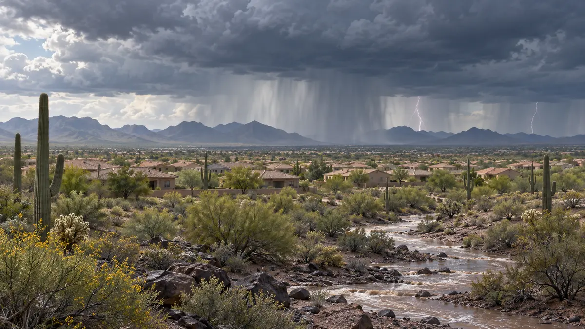
Featured image: Original West Valley Post editorial illustration. It does not depict a specific observed storm or forecast map.


Comments
Join the conversation. Keep comments relevant, civil and focused on the story.