


Updated 1:34 p.m. MST, Sept. 14, 2026: West Valley residents should be ready for scattered thunderstorms Tuesday and Wednesday, with heavy rain and localized flash flooding possible across the Phoenix area.
The National Weather Service in Phoenix said additional isolated to scattered showers and thunderstorms are expected both days and identified flash flooding as the primary threat. The office expects the highest rainfall totals to favor higher terrain and foothills north and east of Phoenix, so rainfall will not be evenly distributed across the metro area.
For communities including Glendale, Peoria, Surprise, Goodyear, Avondale and Buckeye, the forecast means any storm that develops could create short periods of hazardous travel even if nearby neighborhoods receive little or no rain.
Storm chances continue into early Thursday
Arizona’s Family designated Tuesday and Wednesday as First Alert Weather Days on Monday morning. Its forecast put Monday storm chances at 20% to 30% in the Valley and said chances would remain elevated through Wednesday and early Thursday before drier weather returns Friday.
Temperatures are expected to ease from Monday’s low 100s into the upper 90s or near 100 degrees during the wetter part of the week. Humidity will remain elevated.
The main uncertainty is where individual storms form and track. Monsoon thunderstorms can produce sharp differences over short distances, and a lower probability at a particular address does not rule out a heavy downpour.
Flood Watch is outside the West Valley
A Flood Watch publicized Monday covers southeastern Arizona, including portions of Pinal County. It does not include the West Valley. That distinction matters: a forecast for localized flash flooding signals a risk, while a formal watch identifies a defined area where flooding conditions are considered possible.
West Valley residents should check current alerts before traveling because watch and warning boundaries can change as storms develop. The NWS Phoenix page provides the latest local outlooks, radar and warnings.
Travel and flood-safety reminders
Brief heavy rain can overwhelm low-water crossings, washes and poorly drained streets. Drivers should never enter a flooded roadway or go around a barricade. Water depth and pavement damage can be difficult to judge, especially after dark.
Thunderstorms can also bring lightning, sudden strong wind and blowing dust. Residents can prepare by securing loose outdoor objects, charging phones and avoiding washes during storms. Anyone with outdoor plans Tuesday or Wednesday should have a way to receive warnings and a place to shelter.
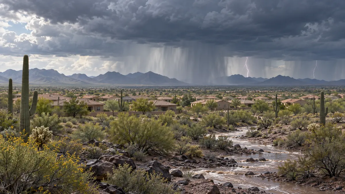
Featured image: Editorial illustration generated for West Valley Post. It does not depict a specific observed storm.



Comments
Join the conversation. Keep comments relevant, civil and focused on the story.