


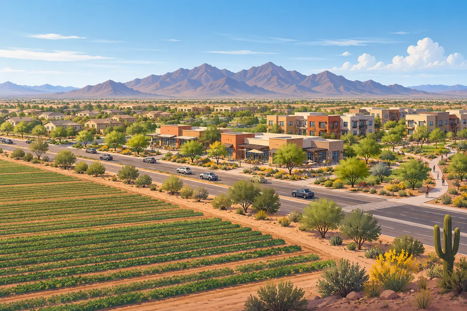
Buckeye City Council approved a major amendment Oct. 6 that allows up to 862 homes and 51.2 acres of commercial development on about 156 acres at the southwest corner of Miller and Lower Buckeye roads.
The action changes the development framework for the western portion of the Monte Verde Community Master Plan, identified as case PLZZ-24-0013. The city’s newly posted legal-actions record lists Ordinance 27-26 as approved.
The approval changes permitted land uses and development standards. It does not approve a subdivision plat, a specific apartment complex or commercial buildings, and it does not mean construction is starting. Those steps would require later applications and infrastructure review.
How the 2005 plan changes
The City Council staff report says the previous plan allowed up to 433 single-family homes and about 15.1 acres of commercial development on this part of Monte Verde. The approved amendment raises the residential ceiling by 429 units and increases the commercial area by about 36.1 acres.
The property runs west of Miller Road from Lower Buckeye Road to Warner Street. It remains in active agricultural use. Before this amendment, city staff said no subdivision plats, site plans or other development applications had been approved for the 156-acre area.
The revised plan divides the land into six development parcels. About 51.2 acres at Miller and Lower Buckeye roads are designated for commercial uses. A 21.3-acre multifamily parcel would sit immediately south along Miller Road. Lower-intensity residential parcels are placed toward existing homes in Westpark to the west and Northwood Park Estates to the south.
Permitted commercial uses include retail, restaurants, services, offices, entertainment and institutional uses. Certain light assembly, light manufacturing, office-warehouse and research uses are also allowed, but only at least 400 feet from Miller Road’s ultimate right of way. Those employment buildings are capped at 50,000 square feet and 40 feet high. The plan does not allow conventional large-scale warehouses or distribution centers, according to the staff report.
Resident comments changed the proposal
More than 30 people attended a May 4 neighborhood meeting. Comments focused on traffic, density, commercial uses, infrastructure and the effect of taller buildings near existing neighborhoods.
The applicant, Jeff Blilie of Gilbert Blilie PLLC on behalf of Sunbelt Land Holdings LP, responded by cutting the proposed maximum from 1,014 homes to 862. The final version also reduced commercial acreage by 8.5 acres, lowered maximum densities on two parcels and added a six-foot screening wall along the Westpark boundary.
The approved framework requires at least 20% open space across the property. It also calls for a 30-foot landscape and trail corridor along the western edge, pedestrian connections to Miller, Lower Buckeye and Warner, and an internal collector road linking Miller and Lower Buckeye.
The Planning and Zoning Commission unanimously recommended approval Sept. 8. The council’s legal-actions sheet confirms approval Oct. 6 but does not report a vote count.
What must happen before construction
Future developers will still need parcel-level plans, subdivision or site-plan approvals, drainage and utility design, and required road improvements. Approval conditions make the owner responsible for half-street improvements along Miller, Lower Buckeye and Warner roads and for internal streets.
The city will also evaluate water and sewer capacity through later applications. Before a final plat, the developer must provide an Arizona Department of Water Resources Certificate of Assured Water Supply if state law requires one, unless Buckeye has become a designated assured water provider and accepts other evidence allowed by the conditions.
No construction schedule is listed in the council record. The next concrete milestone will be the filing of a subdivision plat, site plan or other development application for one of the six parcels.
West Valley Post is following this and other major projects on the Buckeye Development Tracker.
Featured image: AI-generated editorial illustration representing mixed-use growth beside Arizona farmland. It does not depict the Monte Verde site, an official site plan, an actual project design or observed construction.

Comments
Join the conversation. Keep comments relevant, civil and focused on the story.